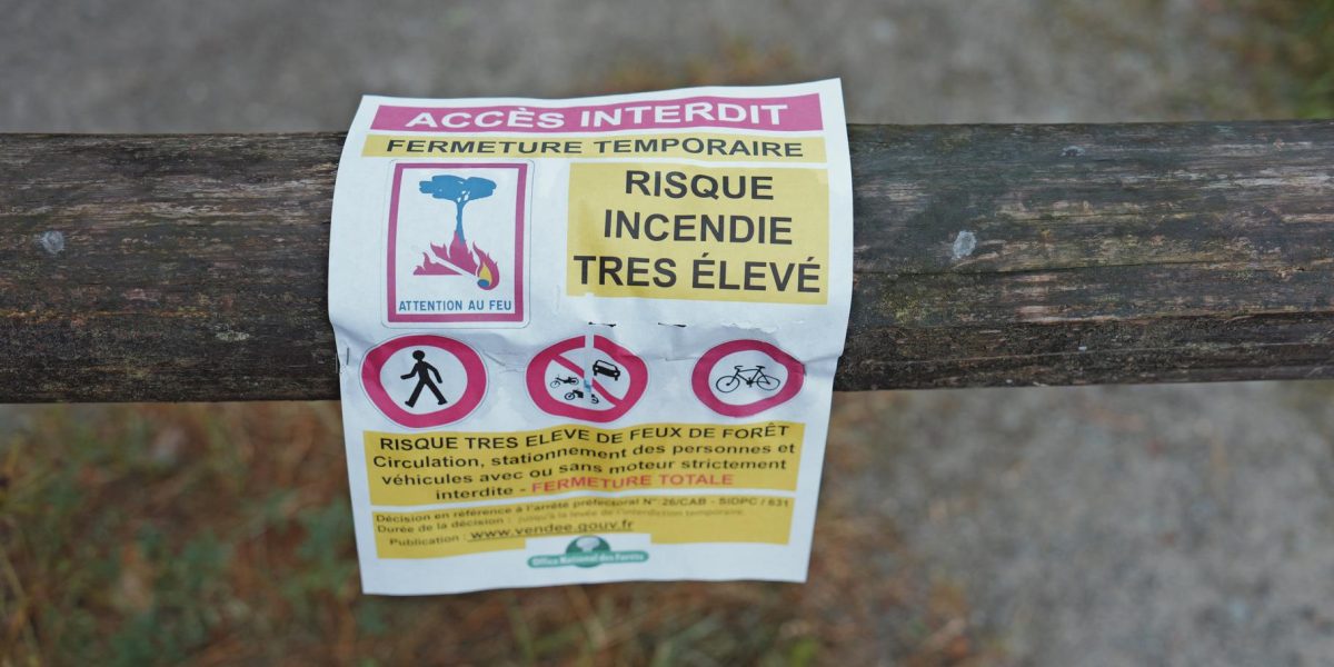
A formidable combination of gale-force winds and parched terrain has prompted Météo-France to place multiple departments along the Mediterranean arc under a red-level wildfire alert, the highest possible warning, for Wednesday, July 1st. The national forecaster warns that the risk of fire ignition and rapid spread is critically elevated, mirroring the volatile conditions seen during the most destructive fire seasons on record.
The red alert, signifying “very high danger,” encompasses Pyrénées-Orientales, Aude, Hérault, Gard, and Bouches-du-Rhône, extending inland to Vaucluse. The decision to escalate the warning level was driven by a pronounced intensification of the Tramontane and Mistral winds, which are expected to gust up to 70-80 km/h and reach as far as the western Var region.
A Tinderbox Forged by Wind and Drought
“The shift to the red level is due to the clear strengthening of the wind,” Météo-France stated in its forest weather bulletin, published late Monday afternoon. This meteorological force is colliding with a landscape already desiccated by a persistent and severe drought. The forecaster noted that soil dryness “has set in durably over the country” after more than two months of significant rainfall deficits and is “worsening day by day.”
The protracted period of intense heat, gripping the region for over ten days, has dramatically accelerated the drying of vegetation nationwide, creating a continuous fuel bed primed for combustion. “The meteorological conditions make the risk of forest and vegetation fires starting and spreading very high compared to summer norms,” the agency cautioned in its red-level advisory.
In a stark historical comparison, Météo-France underlined the gravity of the current situation: “The currently observed soil conditions are similar to those of the major historical episodes since measurements began in 1959.”
Regional Alert Levels and Forecast
Adjacent to the red zone, the departments of Var, Ardèche, and Drôme have been placed under an orange “high danger” alert for the same day. The powerful winds are forecast to persist through Thursday before gradually easing.
This latest warning serves as a critical alert for residents and visitors across the affected territories, as authorities brace for conditions that could rapidly turn any spark into a fast-moving conflagration.