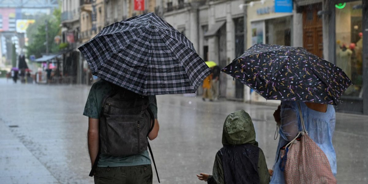
The skies over France are not done rumbling. After a night marked by intense electrical storms from Saturday into Sunday, a second consecutive wave of severe weather is set to batter the country. Météo-France has placed 19 departments in the center and northeast under an orange thunderstorm alert through 6 a.m. Monday, warning of a “virulent storm wave” sweeping from the southwest toward the northeast.
The forecaster’s alert spans a large swath of the Grand-Est, Bourgogne-Franche-Comté, and Auvergne-Rhône-Alpes regions. In its latest bulletin, Météo-France cautioned that the storms could produce large to very large hail, powerful wind gusts exceeding 100 km/h, and intense rainfall of around 50 millimeters in just one to two hours. Electrical activity is expected to be intense overnight.
A Temporary Calm Before Afternoon Storms Return
Monday morning will bring some respite, though residual stormy showers will linger in a band from the Pyrenees toward the northeast under a cloudy sky. However, new thunderstorms are forecast to develop in the afternoon, primarily affecting the Pyrenees, the Massif Central, and the eastern mountain ranges, where they could become locally strong. Météo-France expects all orange alerts to be lifted starting at 6 a.m.
While the immediate threat of violent storms recedes, the heatwave is also losing its grip. No departments remain under a red heat alert as of Monday. Orange heat warnings will persist only in Île-de-France, Alsace, Corsica, and the eastern parts of the Provence-Alpes-Côte d’Azur and Auvergne-Rhône-Alpes regions.
“The violent storms are putting an end to the heatwave,” summarized La Chaîne Météo in a Sunday bulletin, noting that while the storms will help push extreme heat out of much of the country, they come at the cost of highly unsettled weather, including sudden downpours, hail, damaging winds, and significant lightning activity.