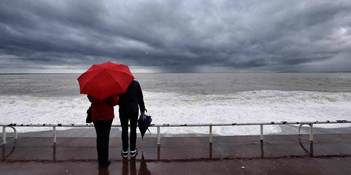
France’s first storm of the autumn is shaping up to be a powerful one. Named Austen by British meteorological services, the system is expected to sweep across northwestern France overnight from Thursday into Friday, October 23, before continuing its path across the country during the day.
Météo-France has placed three departments under orange alert from 10 p.m. Thursday “due to the approach of Storm Austen”: Finistère, Côtes-d’Armor and Morbihan. Two additional departments — Manche and Ille-et-Vilaine — will join the orange alert level from midnight.
Brittany, Normandy and Hauts-de-France on the Front Line
According to La Chaîne Météo, Storm Austen is expected to exit French territory via Belgium around 7 p.m. Friday. Forecasts published Wednesday by Météo-France indicate that the strongest gusts are expected along the Channel coast, where they will exceed 100 km/h. Inland areas will not be spared either.
Winds are first expected to strengthen over northern Brittany overnight Thursday into Friday, as well as Friday morning. The storm will then move toward Normandy and subsequently the Hauts-de-France region throughout the day.
According to La Chaîne Météo, gusts will reach 100 to 120 km/h along the most exposed coastlines, with localized peaks of up to 130 km/h. The peak of the episode will shift toward the Pas-de-Calais and the North Sea during Friday afternoon.
Inland Regions Also Affected
The phenomenon will not be limited to coastal departments. Météo-France also forecasts gusts of 70 to 90 km/h from the Pays de la Loire region to Île-de-France, extending to Champagne-Ardenne. In the Paris region, La Chaîne Météo anticipates peaks of 90 to 100 km/h, with maximum intensity in the early afternoon on Friday.
Along the coastline, the wind will be accompanied by very rough seas. La Chaîne Météo reports waves of 6 to 9 meters near the Brittany coast, and more than 10 meters offshore.
Unsettled Weekend Ahead
After Austen’s passage, the weekend is expected to remain unsettled and rainy across much of the country, with little relief in sight for residents still recovering from the storm’s impact.
- Orange alert departments: Finistère, Côtes-d’Armor, Morbihan (from 10 p.m. Thursday); Manche, Ille-et-Vilaine (from midnight)
- Maximum coastal gusts: 100–120 km/h, with local peaks up to 130 km/h
- Inland gusts: 70–90 km/h from Pays de la Loire to Champagne-Ardenne
- Paris region: peaks of 90–100 km/h expected early Friday afternoon
- Offshore waves: exceeding 10 meters